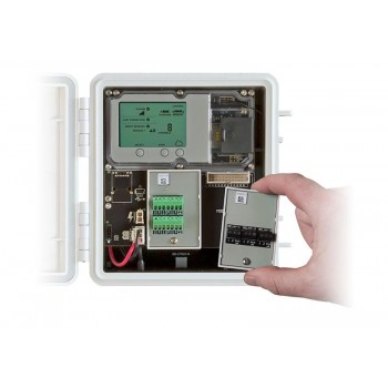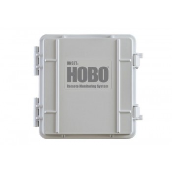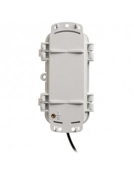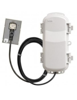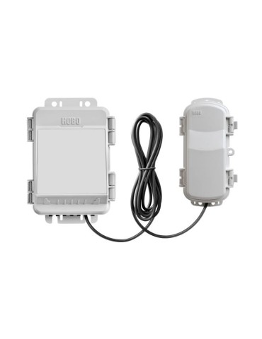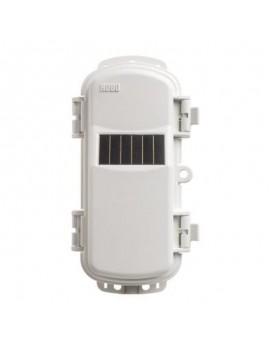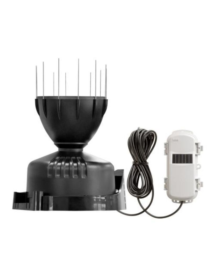


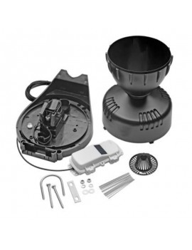

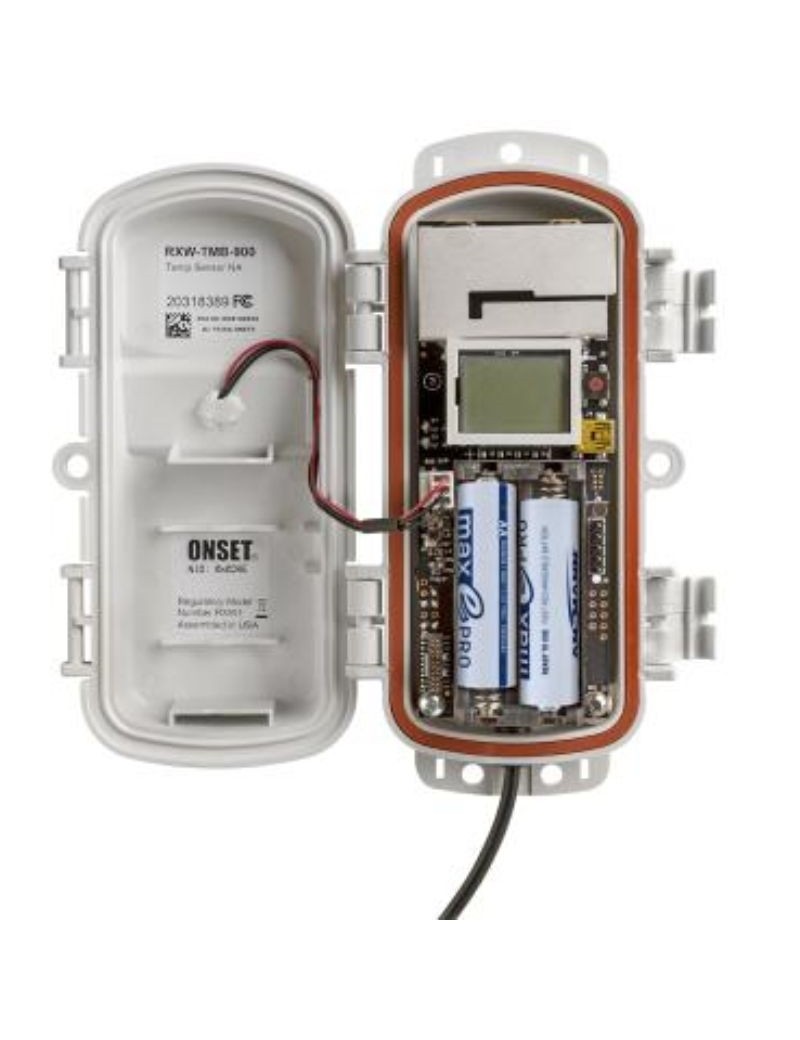


The DAVIS rain gauge is a rain sensor HOBOnet which measures precipitation in 0.2 millimetre increments and which sends the data wireless at the monitoring station HOBO RX3000 or to hOBO MicroRX station, data can be viewed via cloud software platform HOBOlink. He is preconfigured and ready to be used, but requires the purchase of other equipment to form a complete system.
 Guaranteed security for your online purchases Your purchases are protected by SSL encryption, guaranteeing maximum privacy and security.
 Fast and reliable delivery We offer fast and secure delivery options, followed to your door.
 Easy Returns Policy Return your products easily within 30 days, fast refund guaranteed.
The dAVIS rain gauge records the precipitation par increments 0.2 millimetres. The wireless sensors HOBOnet communicates data directly to HOBO RX3000 or HOBO MicroRX or transmits data via other wireless sensors to the central station. They are preconfigured and ready for deployment. Data are accessible via HOBOlink, the innovative cloud software platform of'Onset.
Technical characteristics of the sensor:
- 0.2 mm resolution
- Bird tips
- Anti-removal screen that locks in place
- Designed to meet World Meteorological Organization (WMO) guidelines
- Wireless features
- 900 MHz wireless mesh self-healing technology
- Wireless range from 450 to 600 metres (1,500 to 2,000 feet) and up to five jumps
- Up to 50 wireless sensors or 336 data channels per HOBO RX station
- Just press a button to join the HOBOnet wireless network
- Onboard memory to avoid data loss
- Powered by rechargeable AA batteries and integrated solar panel
Complementary Features:
- Measuring range: 0 to 10.2 cm (0 to 4 in.) per hour, maximum 4,000 points per recording interval
- Accuracy: ± 4.0%, ± 1 precipitation between 0.2 and 50.0 mm (0.01 to 2.0 in.) per hour; ± 5.0%, ± 1 precipitation between 50.0 and 100.0 mm (2.0 and 4.0 in.) per hour
- Resolution: 0.01 in.
- Operating temperature range:
-25° to 60°C (-13° to 140°F) with rechargeable batteries
-40 to 70°C (-40 to 158°F) with lithium batteries
- Radio power: 12.6 mW (+11 dBm) not adjustable
- Transmission range:
Reliable connection to a 457.2 m (1,500 ft) sight line at a height of 1.8 m (6 ft)
Reliable connection to a 609.6 m (2 000 ft) sight line at a height of 3 m (10 ft)
- Wireless data standard: IEEE 802.15.4
- Radio operating frequencies RXW-RGF-868: 866.5 MHz
- Modulation employed: OQPSK (decalation of modulation by quadrature phase displacement)
- Data flow rate: up to 250 kbps, not adjustable
- Service cycle: - Maximum number of points: up to 50 wireless sensors or 336 data channels per HOBO RX station
- Log rate: 1 minute at 6 p.m
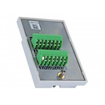
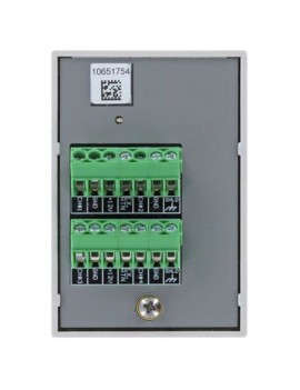
- Number of data channels: 2
- Type of battery/power source:
2 rechargeable NiMH batteries AA 1.2 V, powered by an integrated solar panel
2 AA 1.5 V lithium batteries for operating conditions of -40 to 70 °C (-40 to 158 °F)
- Battery life:
With NiMH batteries : 3 to 5 years typical when used in a temperature range of -20° to 40°C (-4°F to 104°F) and positioned towards the sun (see Deployment and mounting), operation outside this range will reduce battery life
With lithium batteries : 1 year, typical use
- Memory: 16 MB
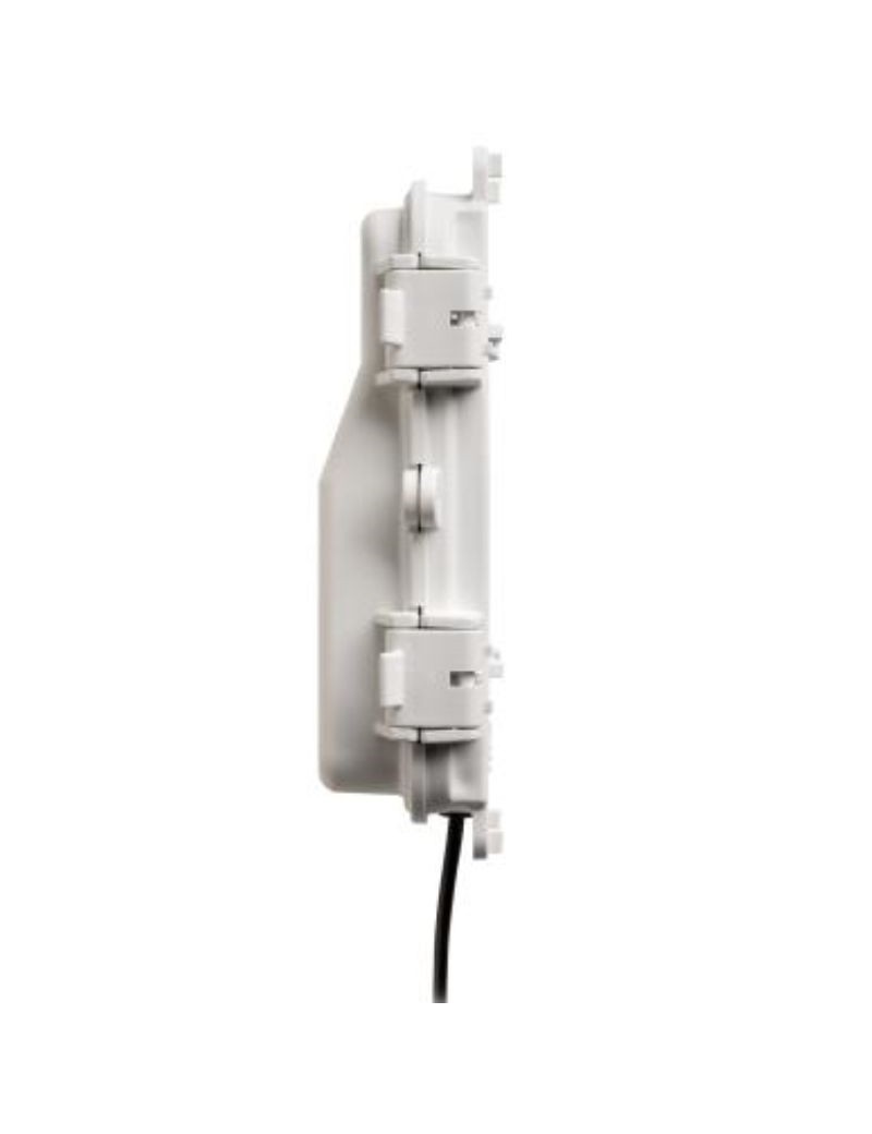
- Dimensions:
Sensor : 16.5 cm of opening diameter (6.5 inches) x 24 cm (9.5 inches) of height; Collection area of 214 cm2 (33.2"2)
Cable length 2 m (6.6 ft)
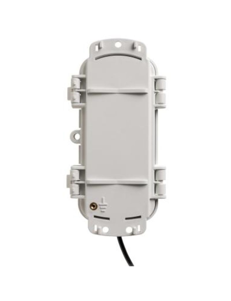
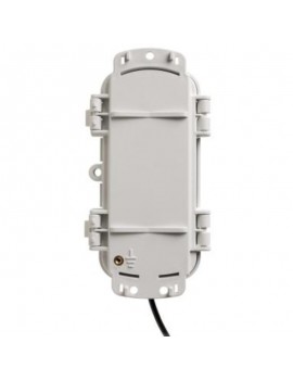
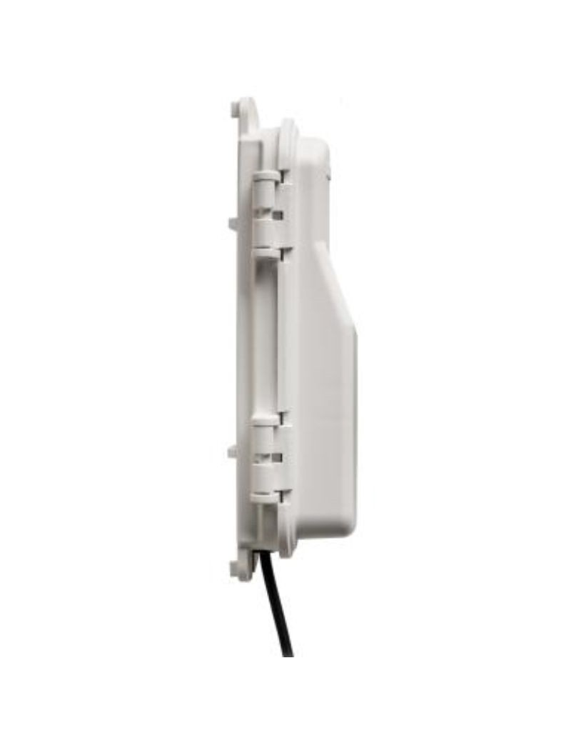
Mote : 16,2 x 8,59 x 4,14 cm (6,38 x 3,38 x 1,63 inches)
- Weight:
Sensor and cable : 1.2 kg (2.7 lb)
Charge : 223 g (7.87 oz)
- Materials:
Sensor : ABS plastic housing stabilized with UV; tilting spoon mechanism with swivel magnetic blade switch on metal shaft
Mote: PPCBT, silicone rubber seal
Environmental Assessment Sensor Waterproof Moth: IP67, NEMA 6

You might also like